In the Field at Halo Shelter
Lesson 1— Fieldwork does not start in the field.
August 1- September 15, 2021:
Preparation starts about six weeks prior to field work. Using the high resolution Gigapanorama we collected during the previous field project, Dr. Carolyn Boyd begins to draw a detailed rendering of the Halo Shelter panel. She uses an interactive pen display and visual software to redraw the entire panel in literally hundreds of layers. While she draws the panel, she records notes on each figure in an Excel spreadsheet. She assigns a unique reference number to each figure. She notes paint color, paint layering, paint thickness, direction of brush strokes, etc. This painstaking process takes about one month to six weeks to complete. She does not make final determinations of paint layering, or stratigraphy. That awaits microscopy. The finished products serve as our preliminary site map and help us to decide where to conduct microscopic studies of paint stratigraphy.
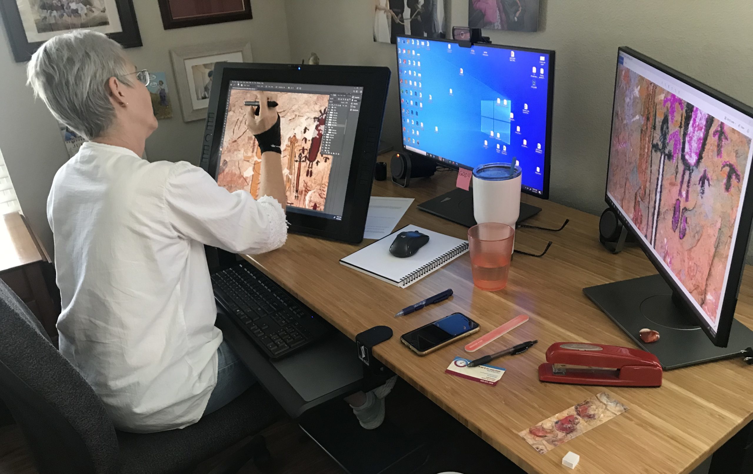
Carolyn Boyd is drawing an annotated rendering using an interactive pen display. She works from the GigaPan collected during our previous effort, the Alexandria Project.
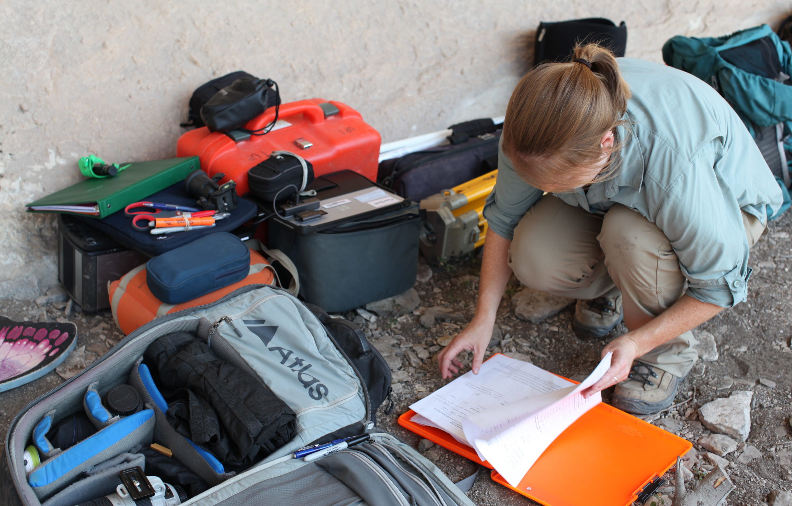
Audrey Lindsay is checking notes next to some of the equipment we take into the field. Project archaeologists Tim Murphy and Audrey Lindsay begin checking the field equipment one month early. The crew uses two cameras, a Canon E5DSR for mural figure photography and a Canon 5D Mark II for crew and context photos. They check the batteries, the lenses, and the cases to make certain that everything is in good working order. The cameras are usually sent to San Antonio for servicing. They collect field packs, portable worktables, ladders, point and shoot cameras, old school measuring tapes, rulers, L-rulers, battery chargers of all types, SD cards and other data storage equipment, 2-way radios, tripods, digital microscopes, and so on. They check the total data station, our survey instrument that records the location of figures in 3-D and discover that it must be calibrated before we return it to the field. The closest service location is 220 miles from our offices—another reason to plan ahead.
Annotated Rendering. Click on the rendering and zoom in to see the figure numbers in green and blue (A=anthropomorph; Z=zoomorph, and E=enigmatic figure). Photomicrography locations, where paint layers intersect, are indicated with DL numbers. The crew follows this guide while working in the field.
Lesson 2—Bring the kitchen; food fuels fieldwork.
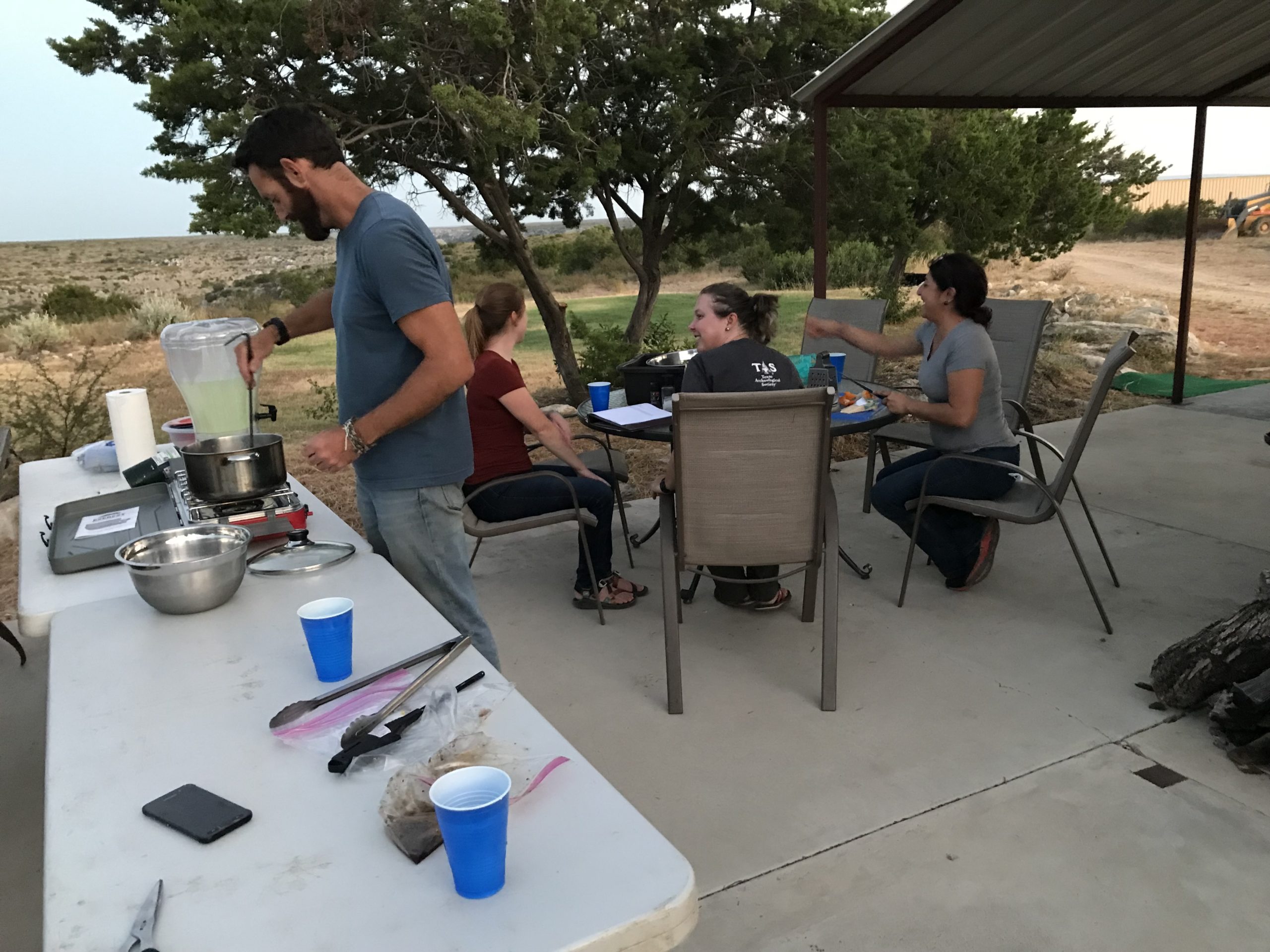
We need to eat! The landowners graciously allowed us to stay at their hunting lodge, however, it was being renovated and the kitchen was an empty shell with new parts strewn across its floor. Here, Tim and Audrey’s logistical skills took over and they scouted the lodge, planned what was needed to build a field kitchen, and assembled a menu for the team.
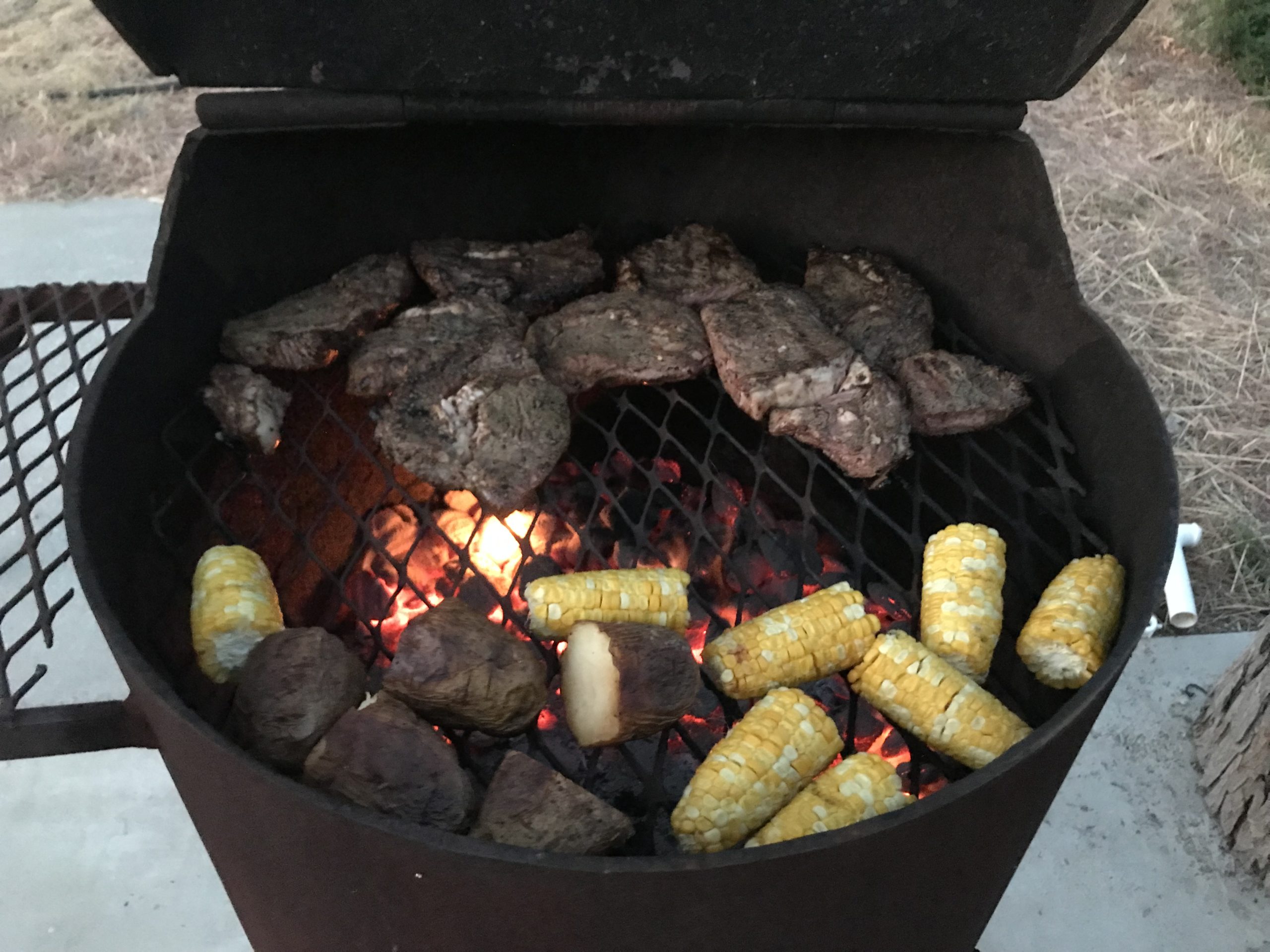
Food fuels fieldwork. Our outdoor kitchen, the grill, and the most important member of the crew, the chef.
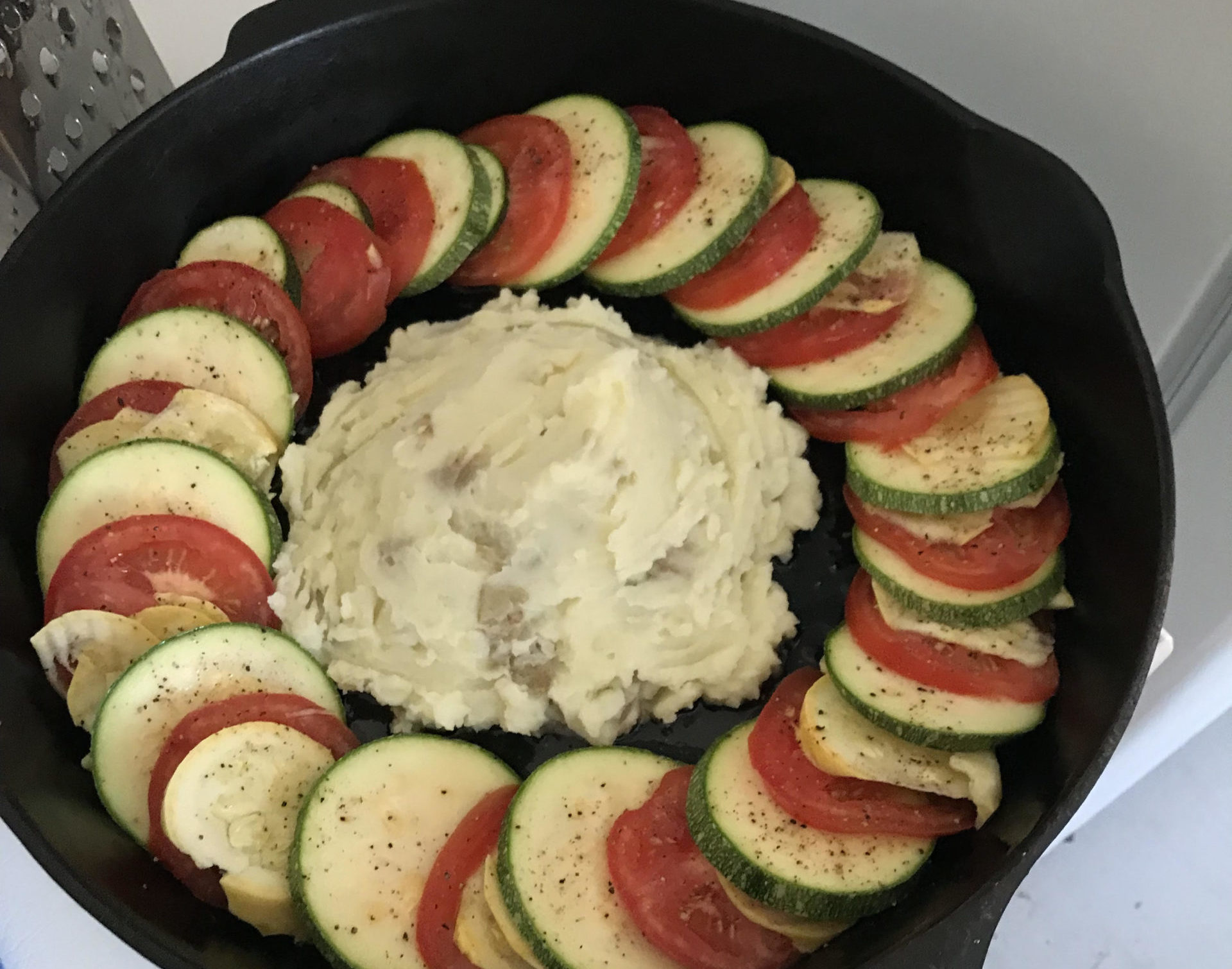
Chef Tim believes that good presentation is always necessary.
Lesson 3—Fieldwork is teamwork!
The Team:
Principal Investigators: Carolyn Boyd, Texas State University; Karen Steelman, Shumla Archaeological Research Center.
Principal Collaborator: Phil Dering, Shumla Archaeological Research Center.
Project Archaeologists: Tim Murphy and Audrey Lindsay, Shumla Archaeological Research Center.
Post-doc: Diana Rolón, Texas State University.
Fine Arts Consultant: Ashley Busby. Russell Sage College.
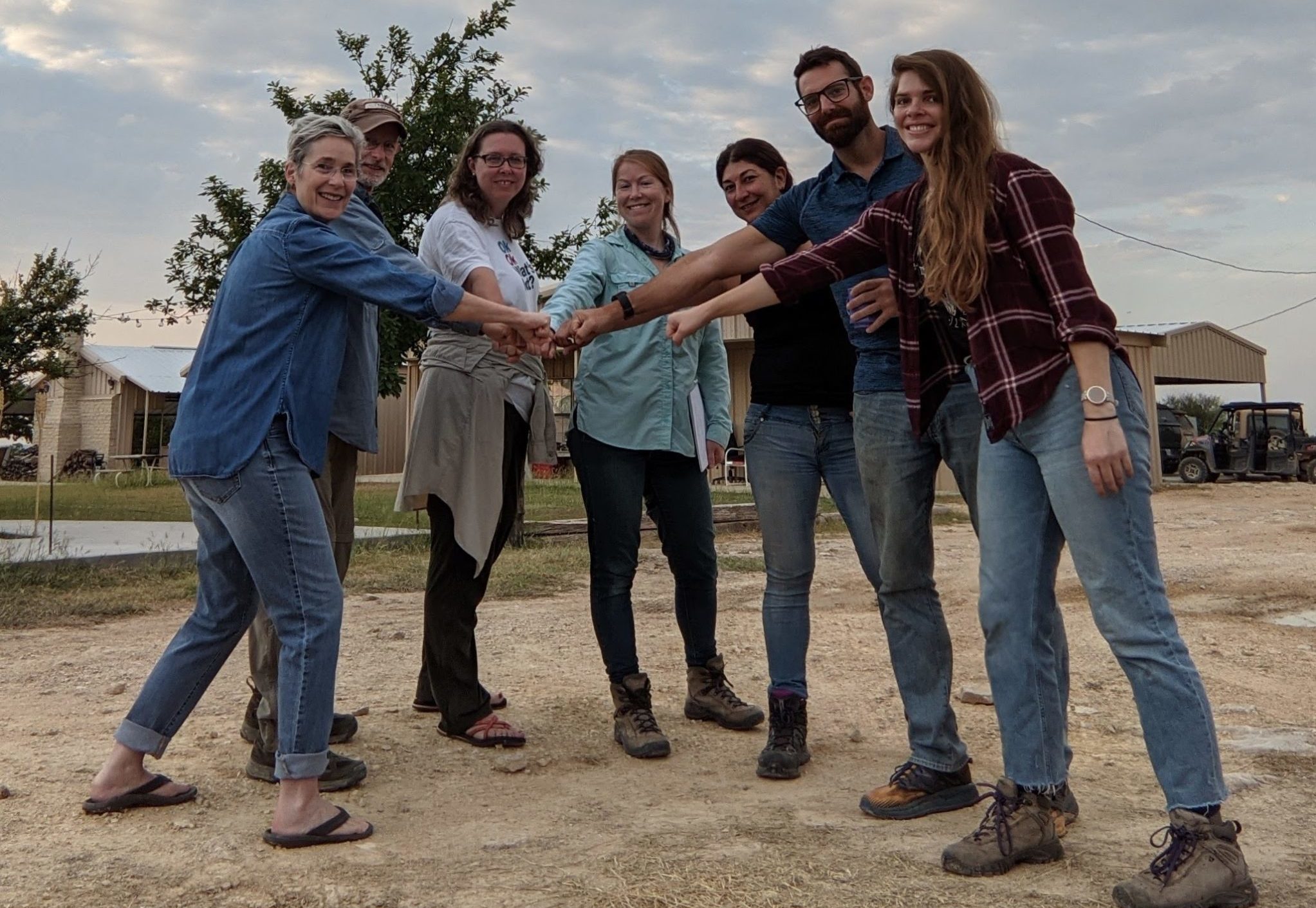
The team and the daily fist bump. L-R, Carolyn Boyd, Phil Dering, Karen Steelman, Audrey Lindsay, Diana Rolón, Tim Murphy, Ashley Busby.
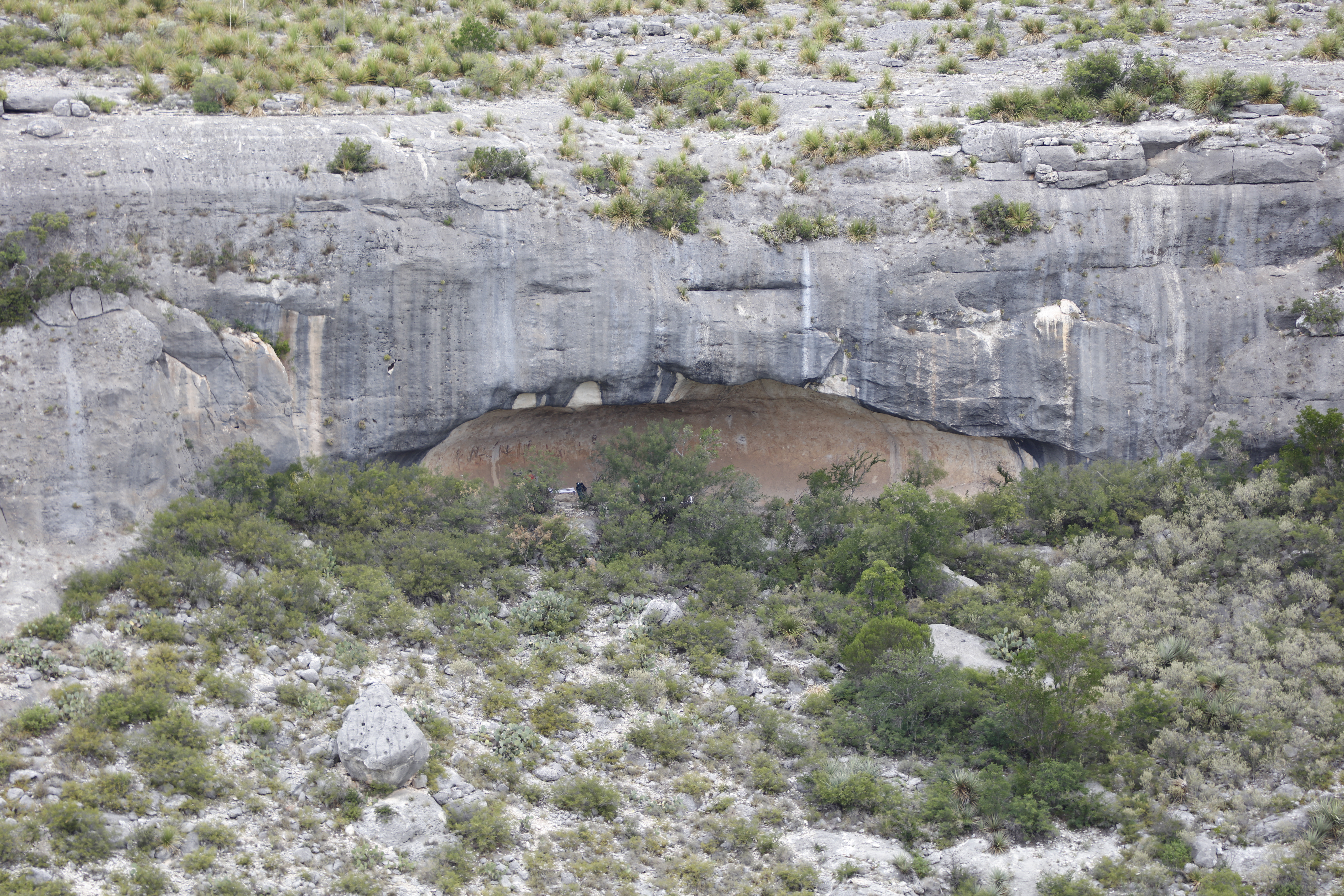
Our daily destination, Halo Shelter, measures about 32 meters (104 ft) long, 7 meters (23 ft.) deep, and almost 5 meters (16 ft.) tall. In this photograph, taken from across the canyon by Tim Murphy, you can see its position about ¾ up the canyon wall. Zoom in to see the tiny archeologist on the left side of the shelter.
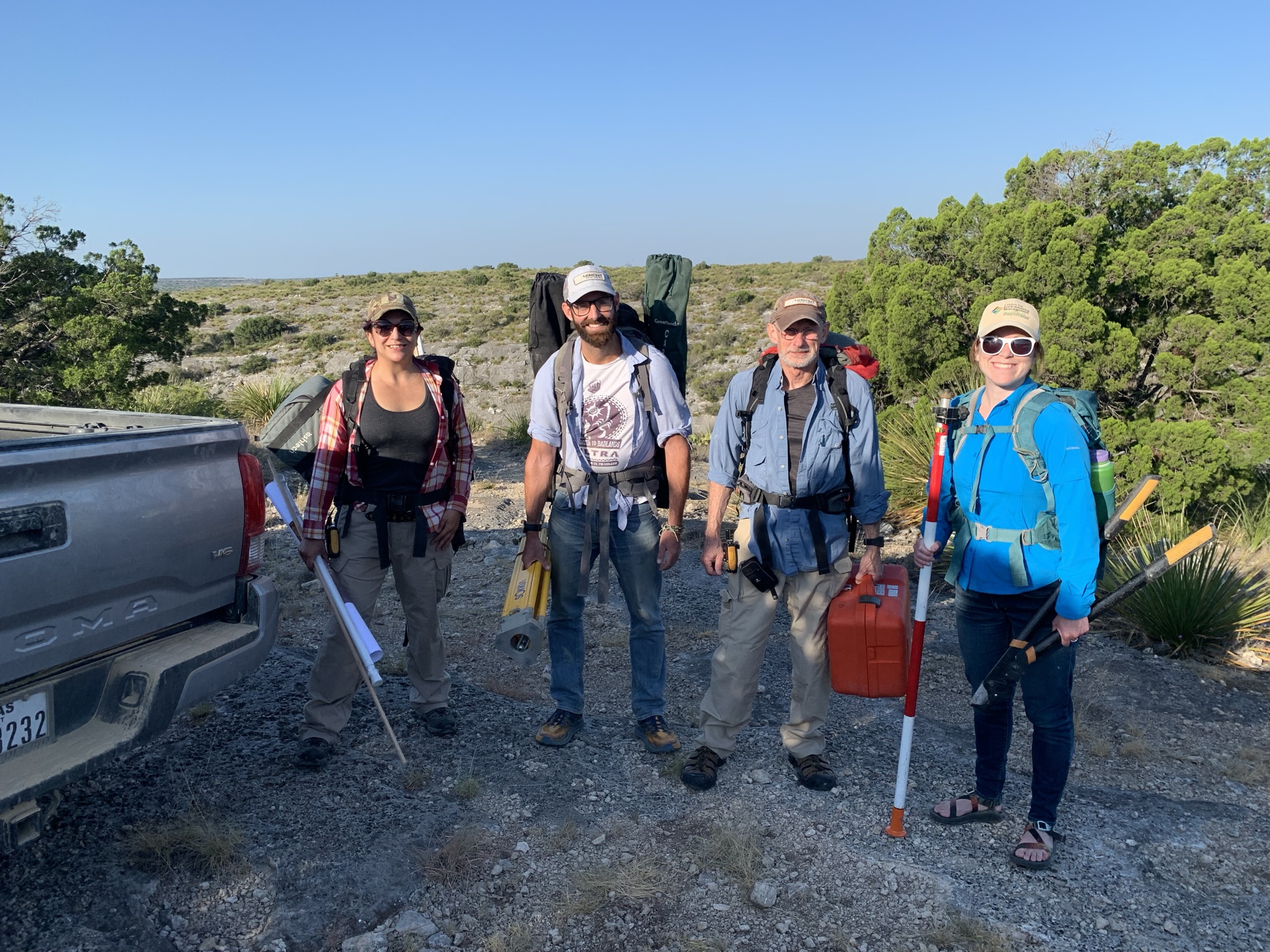
(Left to right) Diana, Tim, Phil, and Audrey on the canyon rim, preparing to descend into the canyon.
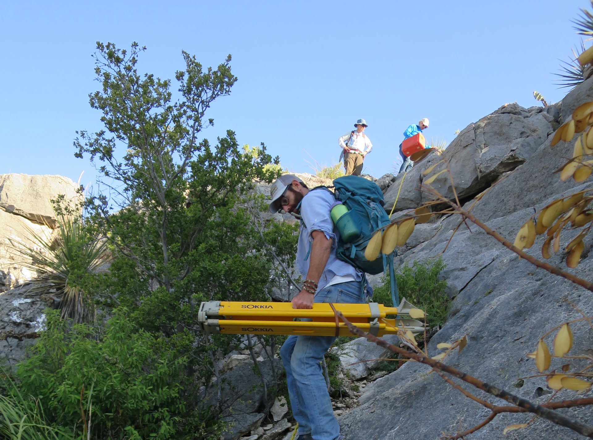
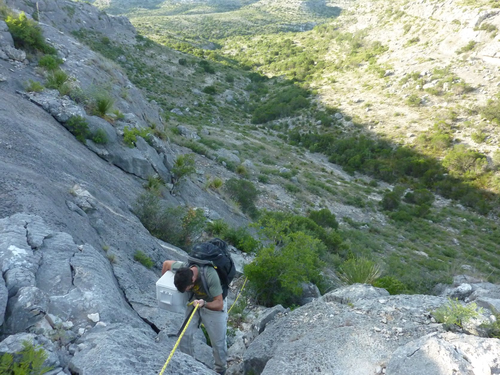
Getting around in the Lower Pecos Canyonlands involves short but difficult distances. Tim Murphy is roping down the notch in the canyon rim with the TDS tripod.
Lesson 4—Field work involves division of labor.
We divide the crew into tasks. Tim sets up the Total Data Station (TDS). We take turns shooting in points. Audrey, Diana, and Karen work on the photomicrography. Tim is taking closeups and context photos of each figure. Ashley is conducting a compositional analysis. Phil is in charge of . . . well, mug boards. Come on, guys, mug boards are important. The next several images show the team in action.
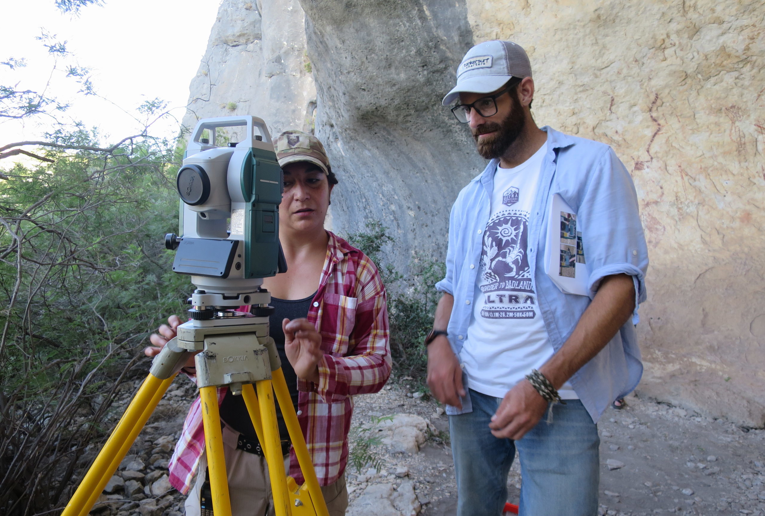
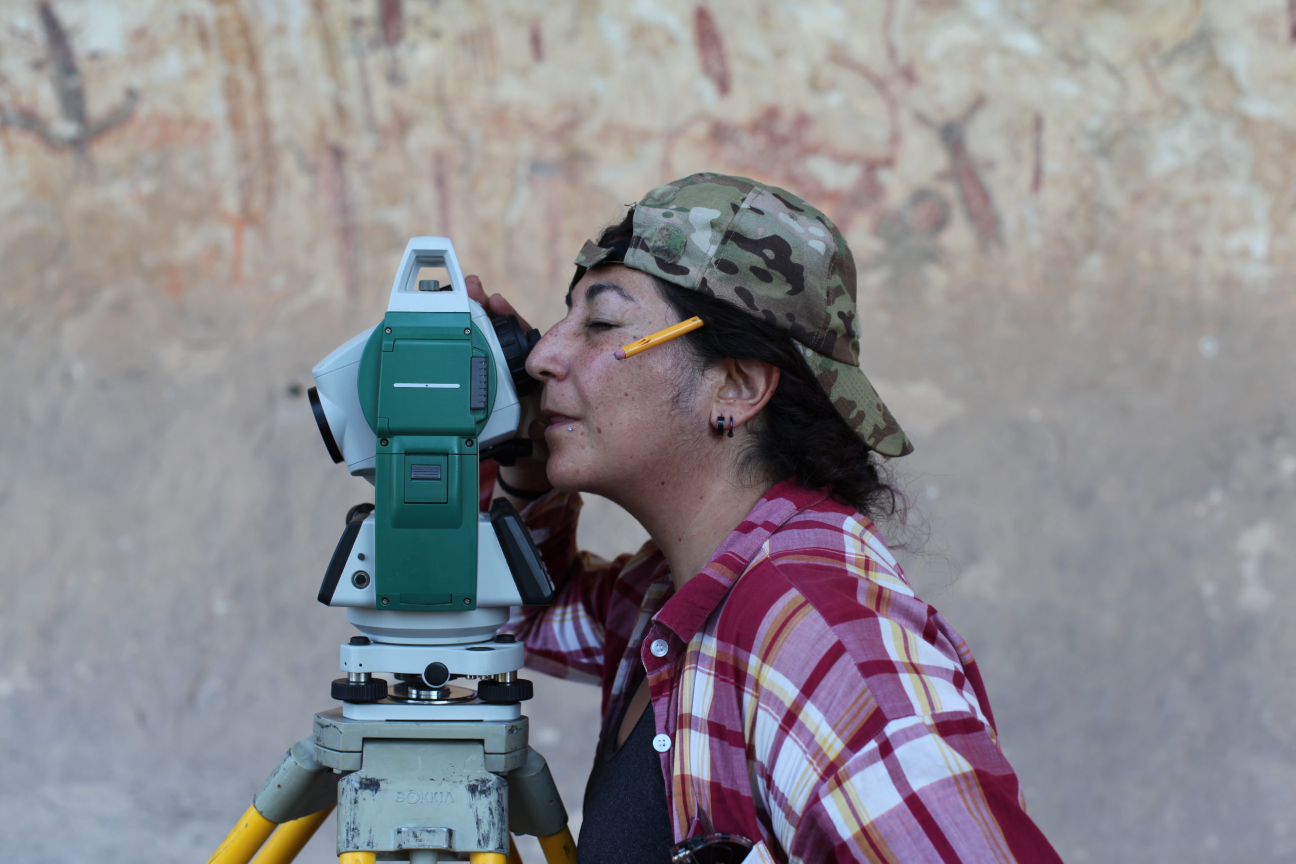
Tim and Diana setting up the TDS.
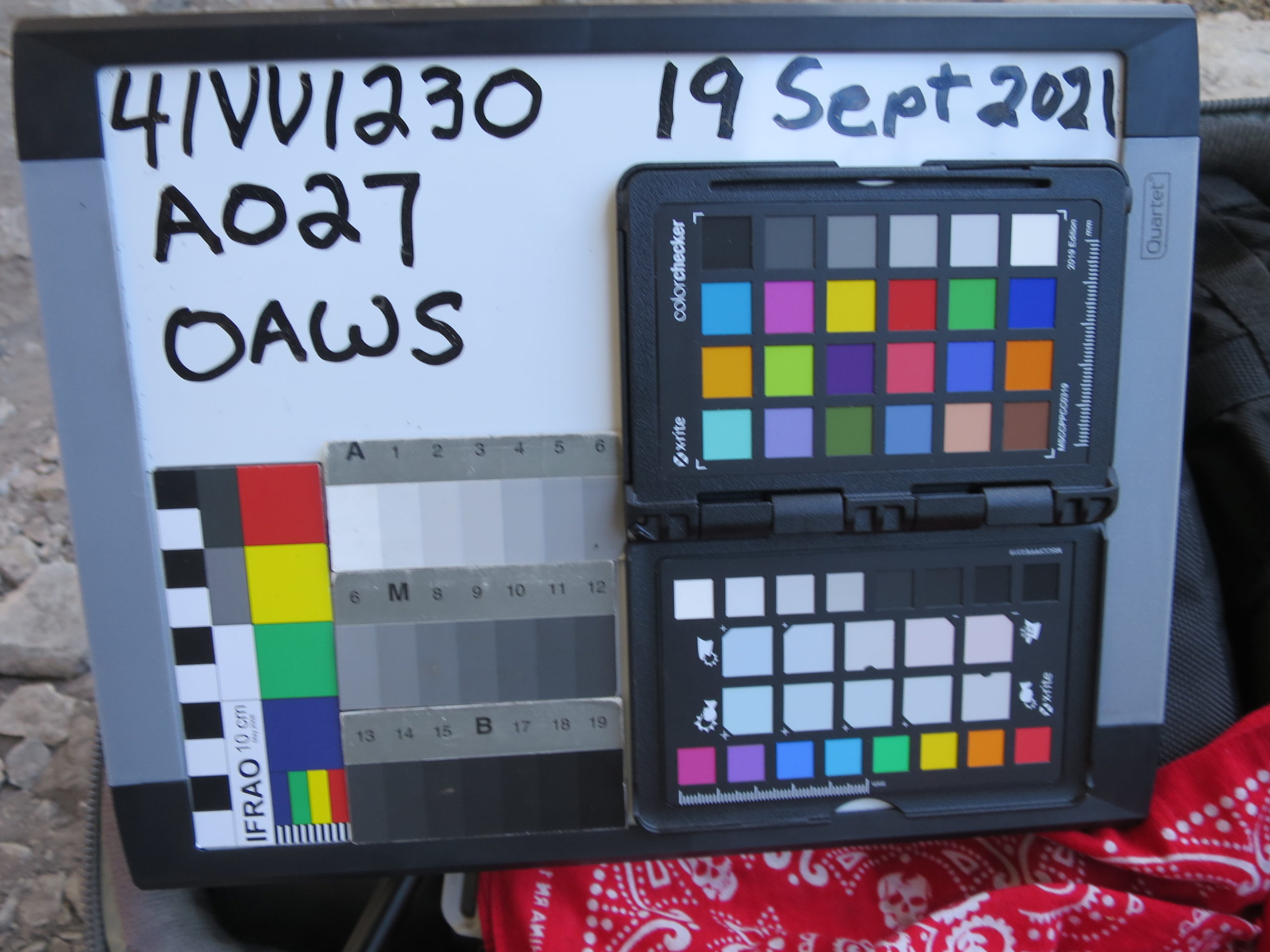
Mug boards identify the 13,000+ images we recorded over the two-week field session. They include site number, figure reference, photo type, date, scale, along with a color checker, and white balance for post-processing RAW images.
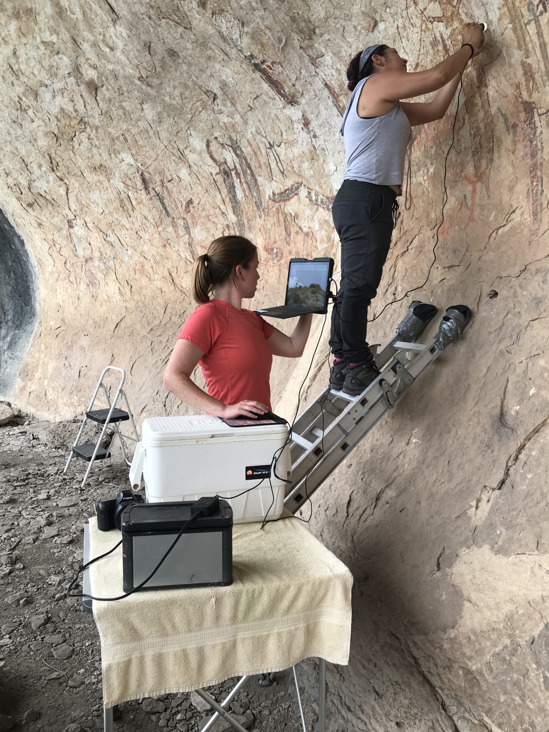
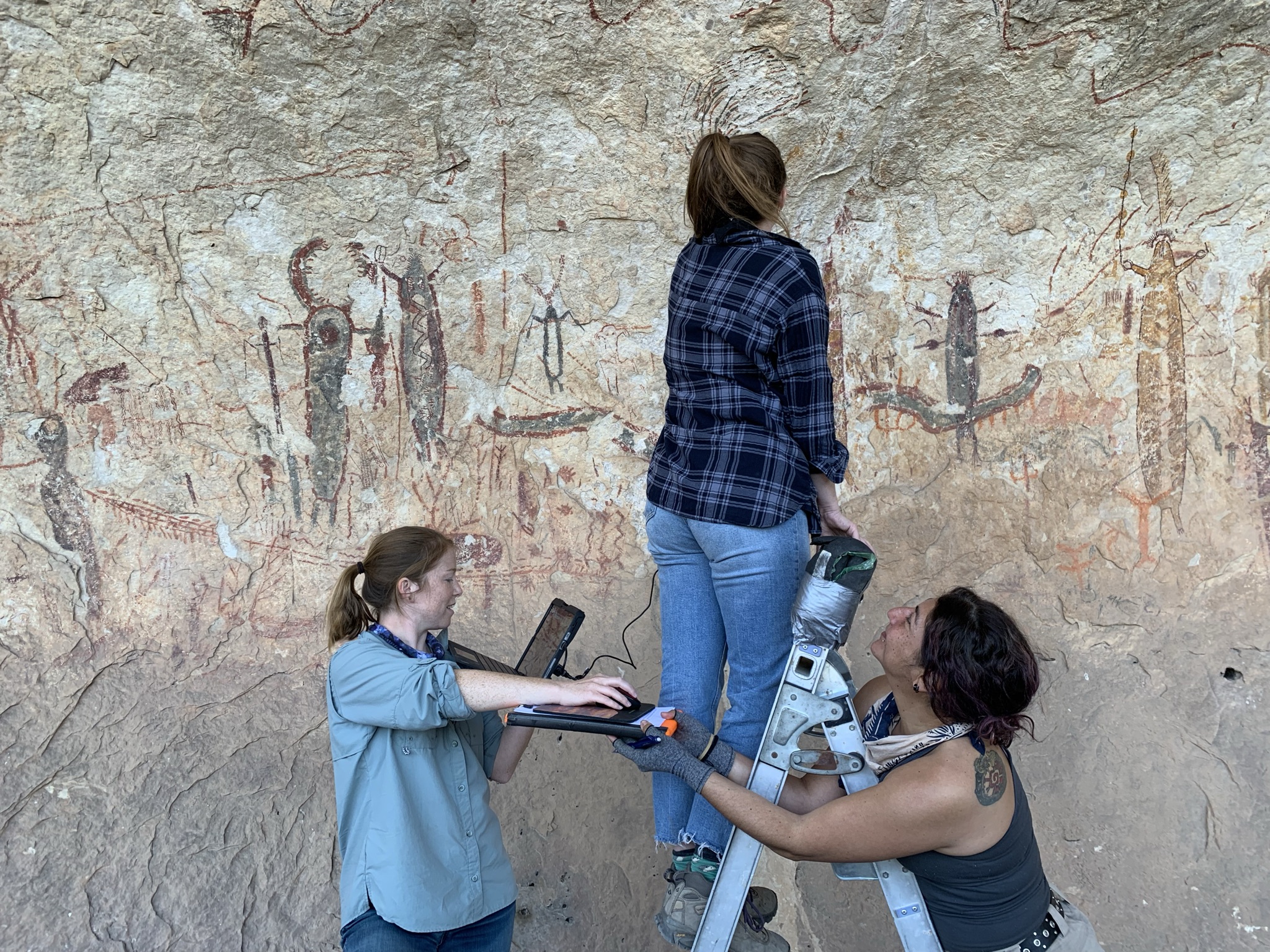
Here the team is imaging paint layers to determine the paint stratigraphy. Audrey is on the tablet monitoring the digital microscope. She directs the person on the ‘scope and brings each image into focus—Diana is on the ladder positioning the digital microscope. She places the portable digital microscope over the spot on the mural that is targeted for study. This spot is no more than a few millimeters wide in a mural that is about 30 m long and 5 m tall. A quick unit conversion will illustrate the need for location accuracy: the microscope location is about 4 mm 2 . The mural covers approximately 150,000,000 mm 2, so that is four millimeters squared within an area of one hundred fifty million millimeters squared. We need that level of accuracy to be able to return to the same spot and record a corroborating observation. We then record the photomicrography location with a total data station.
Diana on the TDS.
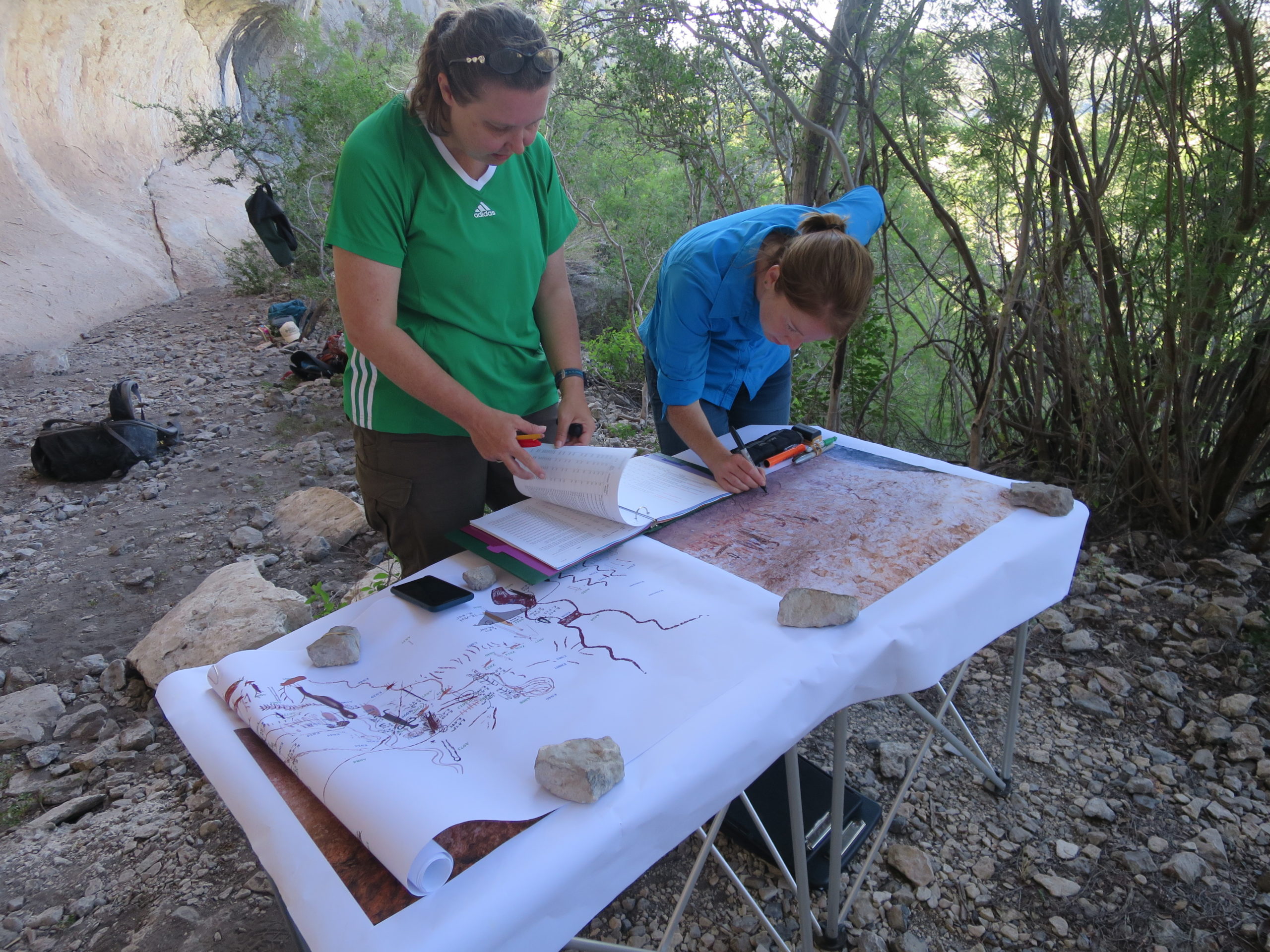
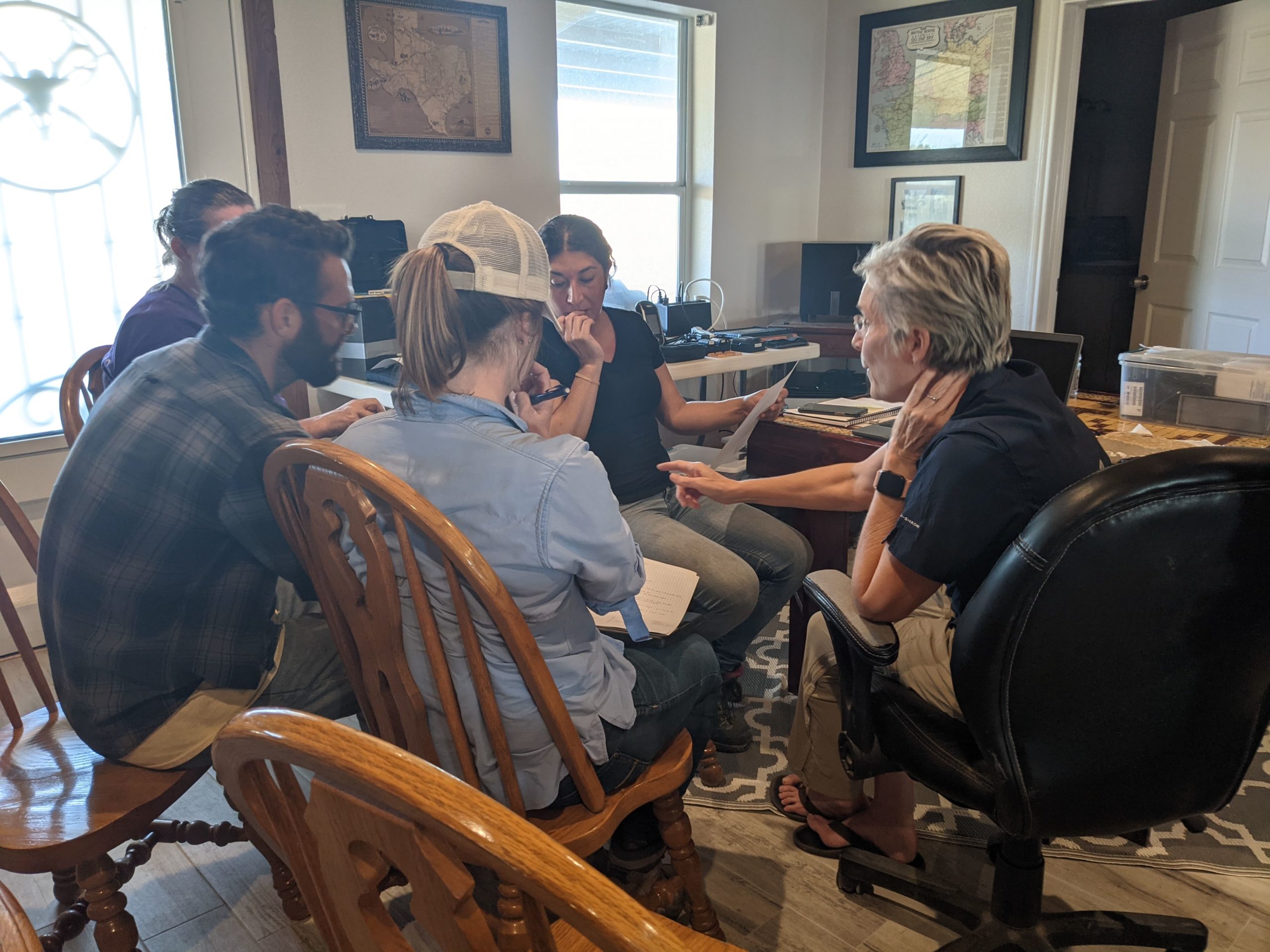
Audrey and Karen are using the annotated rendering and GigaPan to track our progress and select the next photomicrograph location.
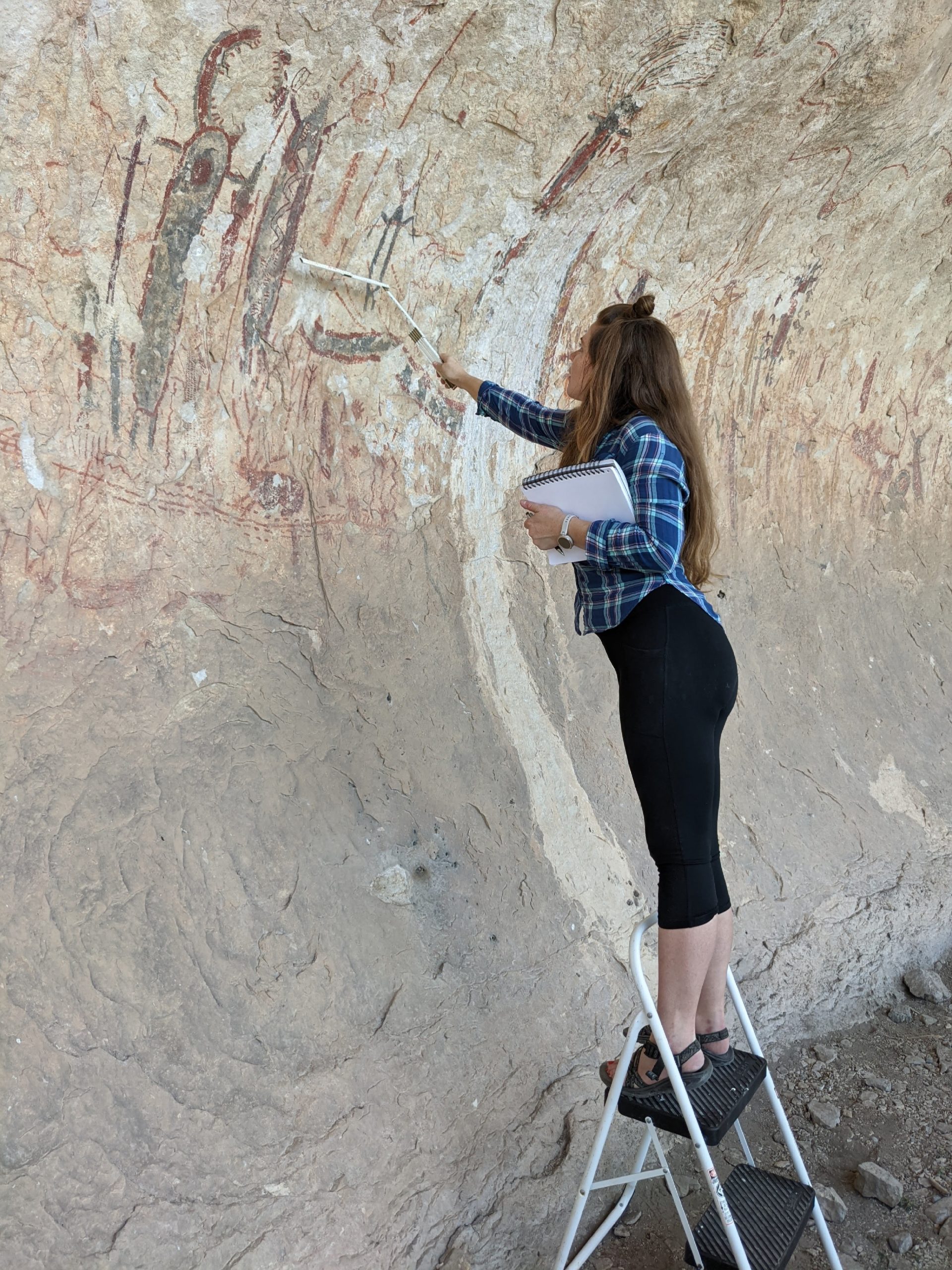
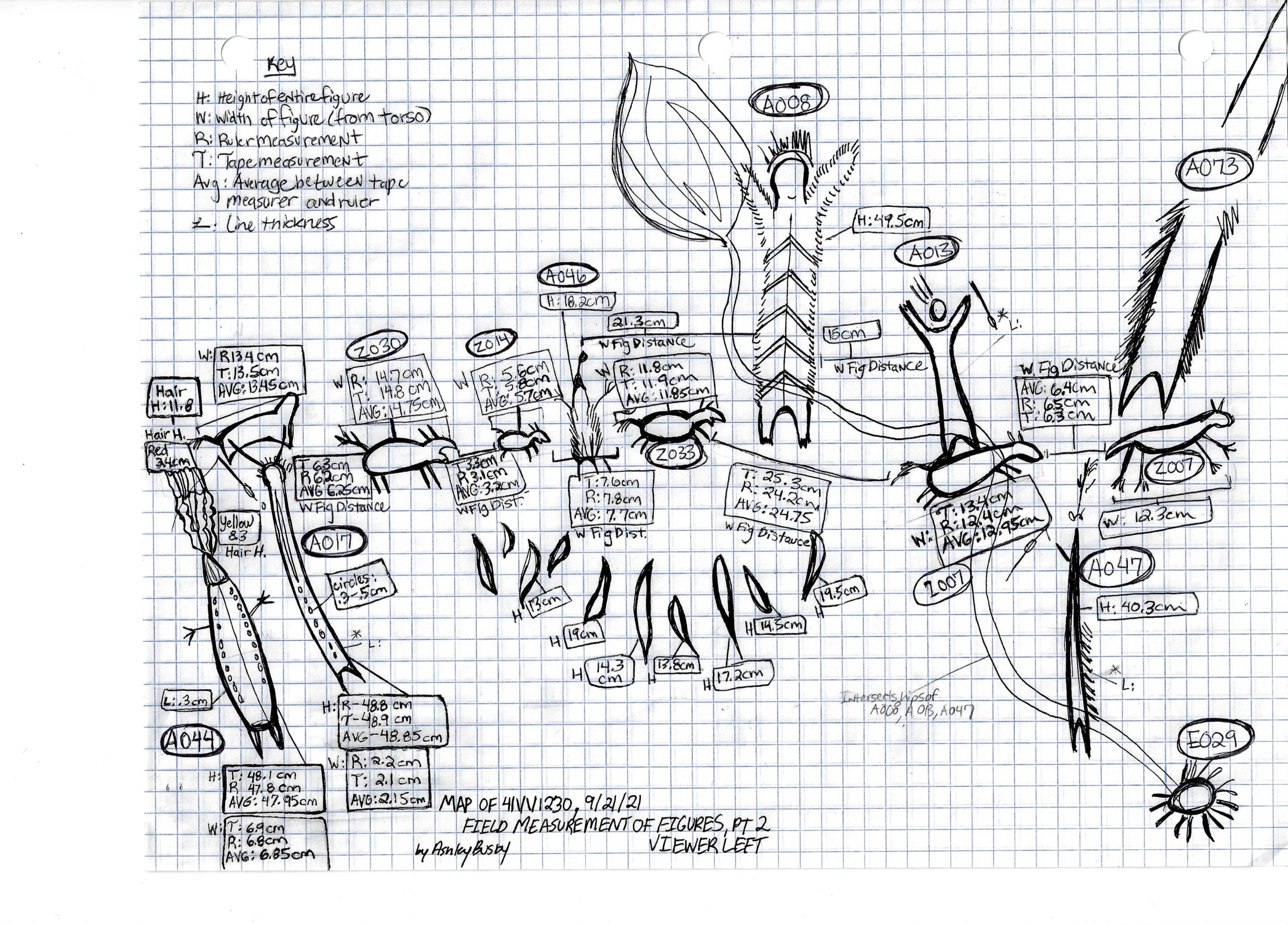
Ashley, the fine arts technical consultant, is conducting a compositional analysis. She is measuring the distances among figures, determining how the artists organized the mural, and recording these in her sketch map of the site. We will provide a brief summary of her analysis in a later installment.
Here is one page of Ashley’s sketch map, complete with measurements and key. Ashley’s sketches will inform her compositional analysis.
Ashley’s annotated field sketches differ from Carolyn’s rendering, and they demonstrate how research questions condition the types of data we collect. They both provide a graphic record of the mural, but each has a different emphasis. We will have more to say about the types of data they contain and the specific research questions they answer in future blogs.
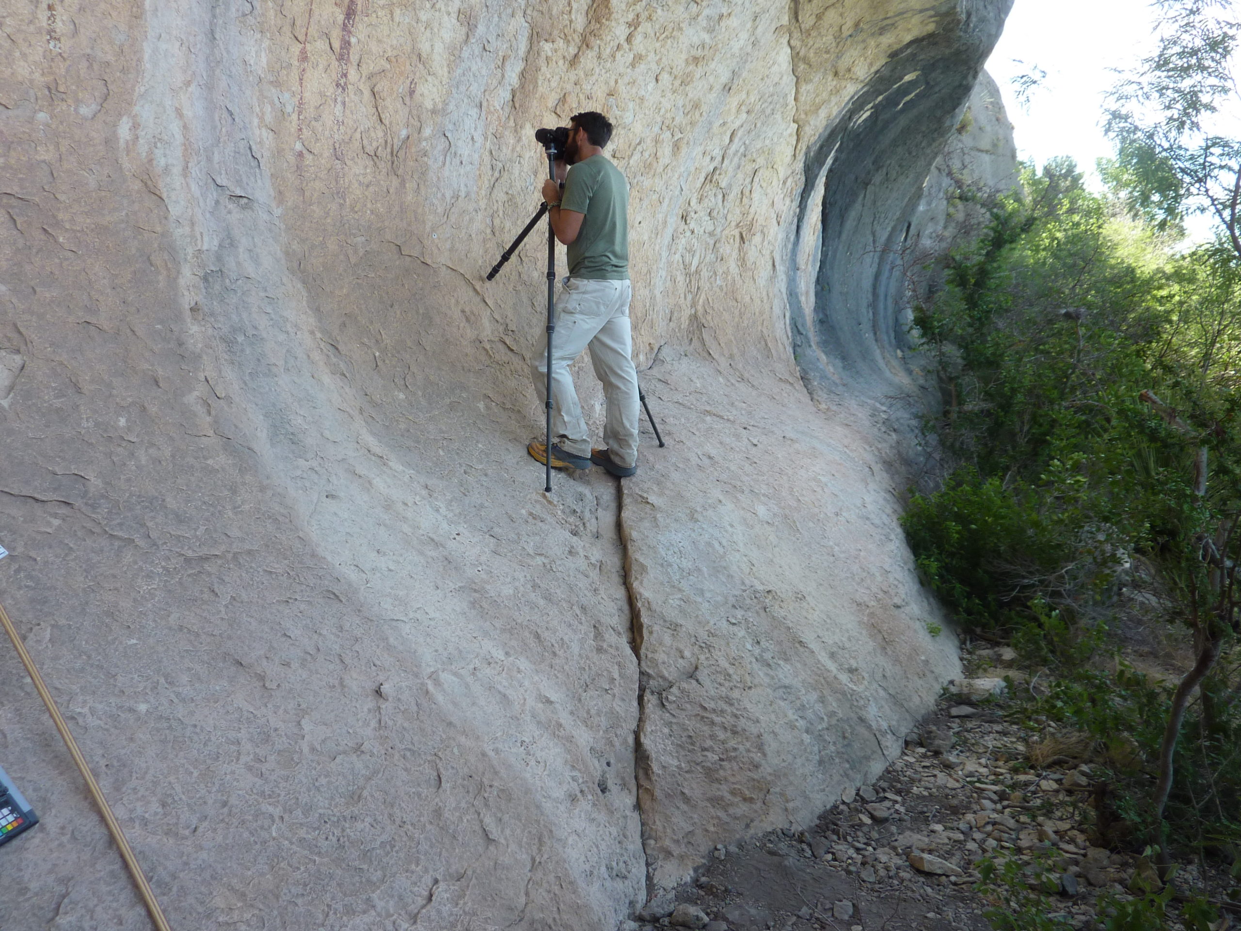
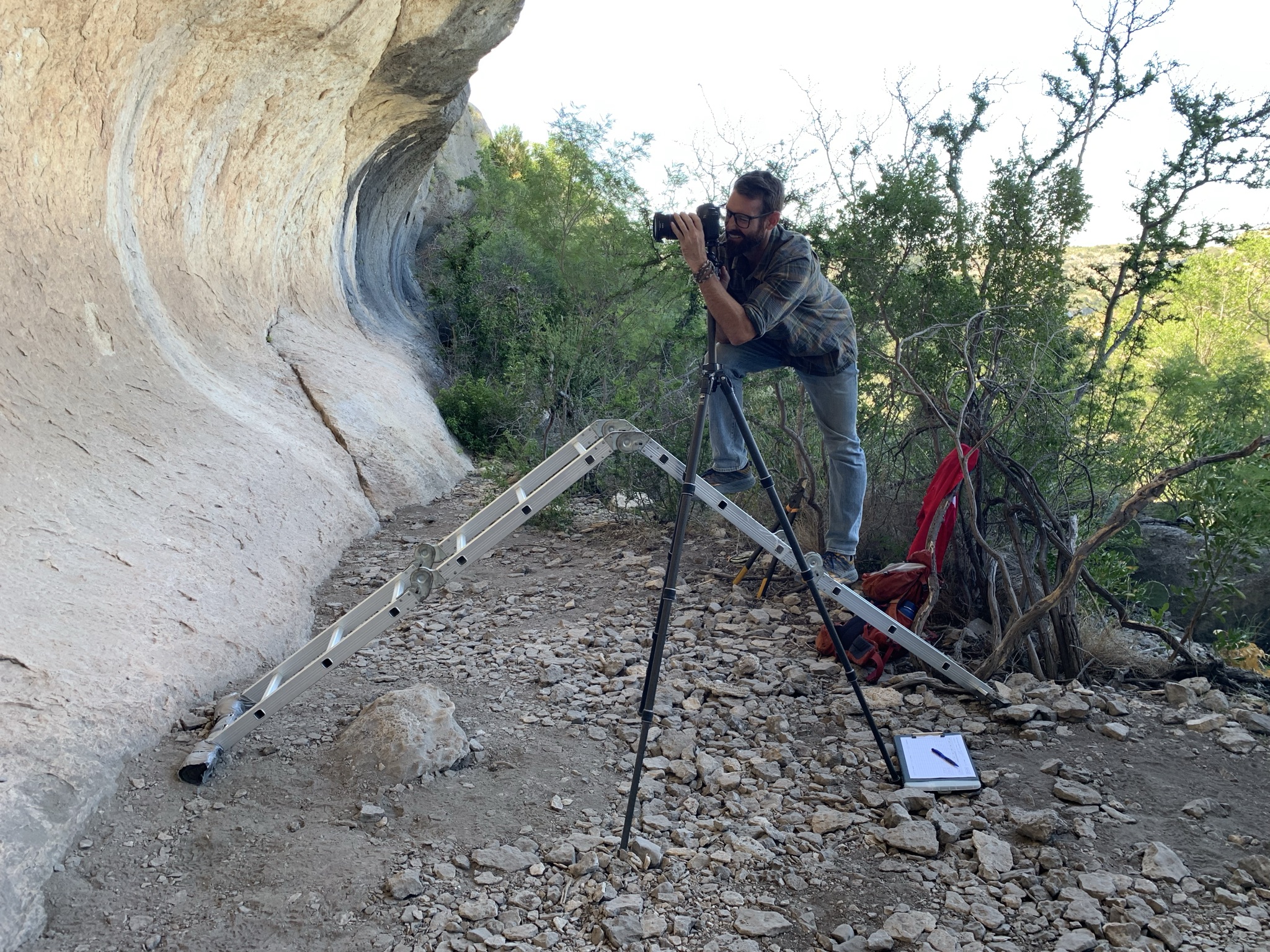
Tim is shooting high-resolution photos of some of the images in the upper register of the panel. These images provide a detailed, permanent record of each of the 212 figures in the mural. It is obvious why the muralists used scaffolding or ladders to paint some of these images.
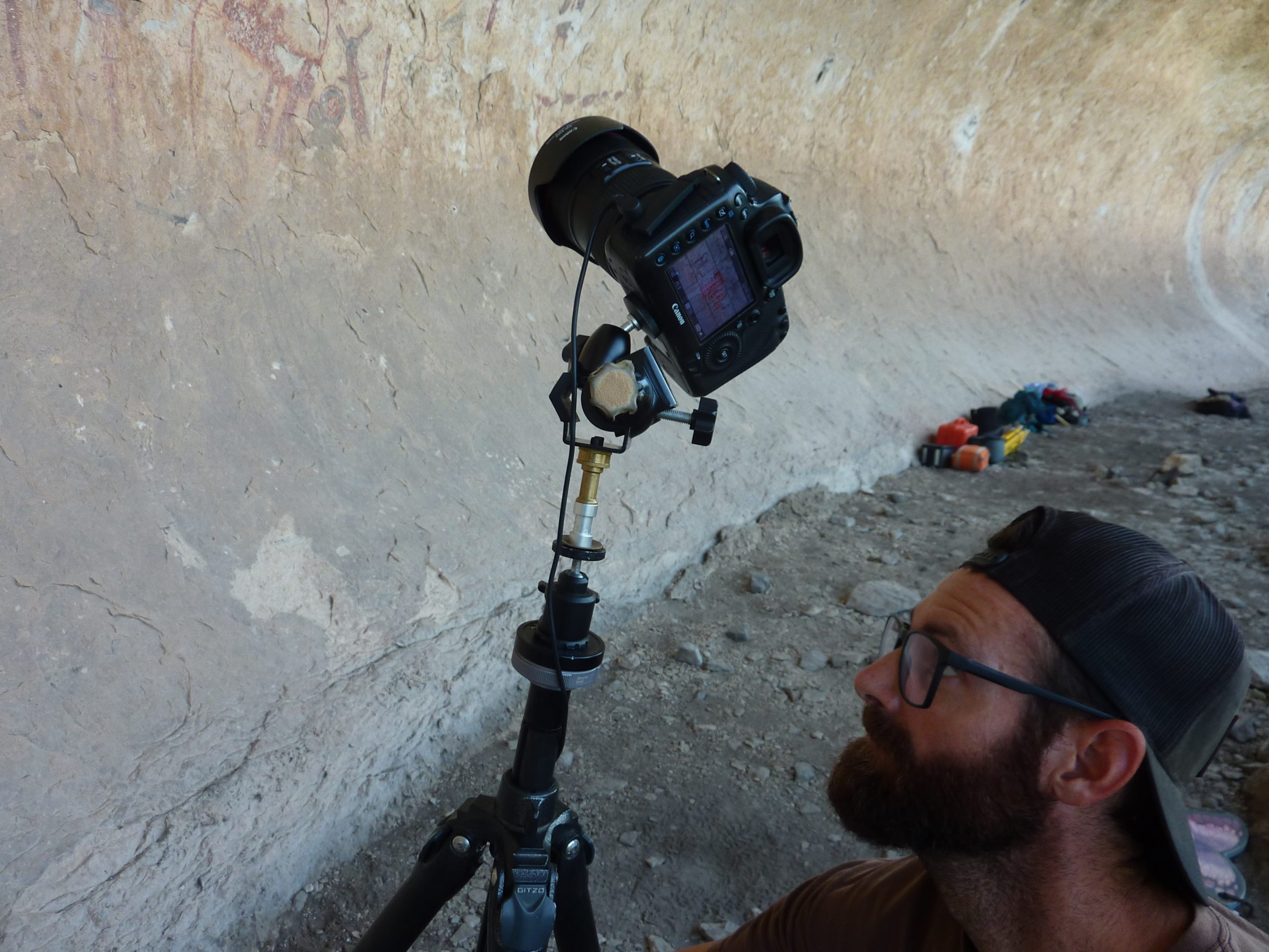
Anyone who knows what a camera tripod mount looks like will see that this one is unusual. On the first Monday of fieldwork, we had a “Monday”. We left the ladders at the HQ, and the camera mount on the tripod broke. Tim came up with a field solution to the problem. He did not know it at the time, but he was honoring the tradition of “Aggie engineering.”
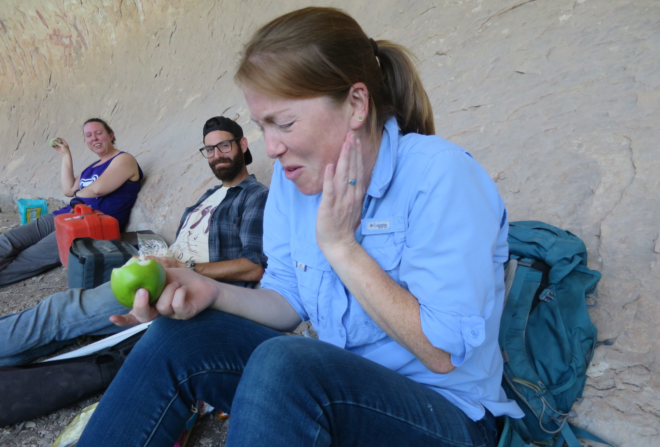
Each day we take a short lunch. Not all break foods taste alike. Tim and Karen look on as Audrey enjoys her apple. Beware of green apples!
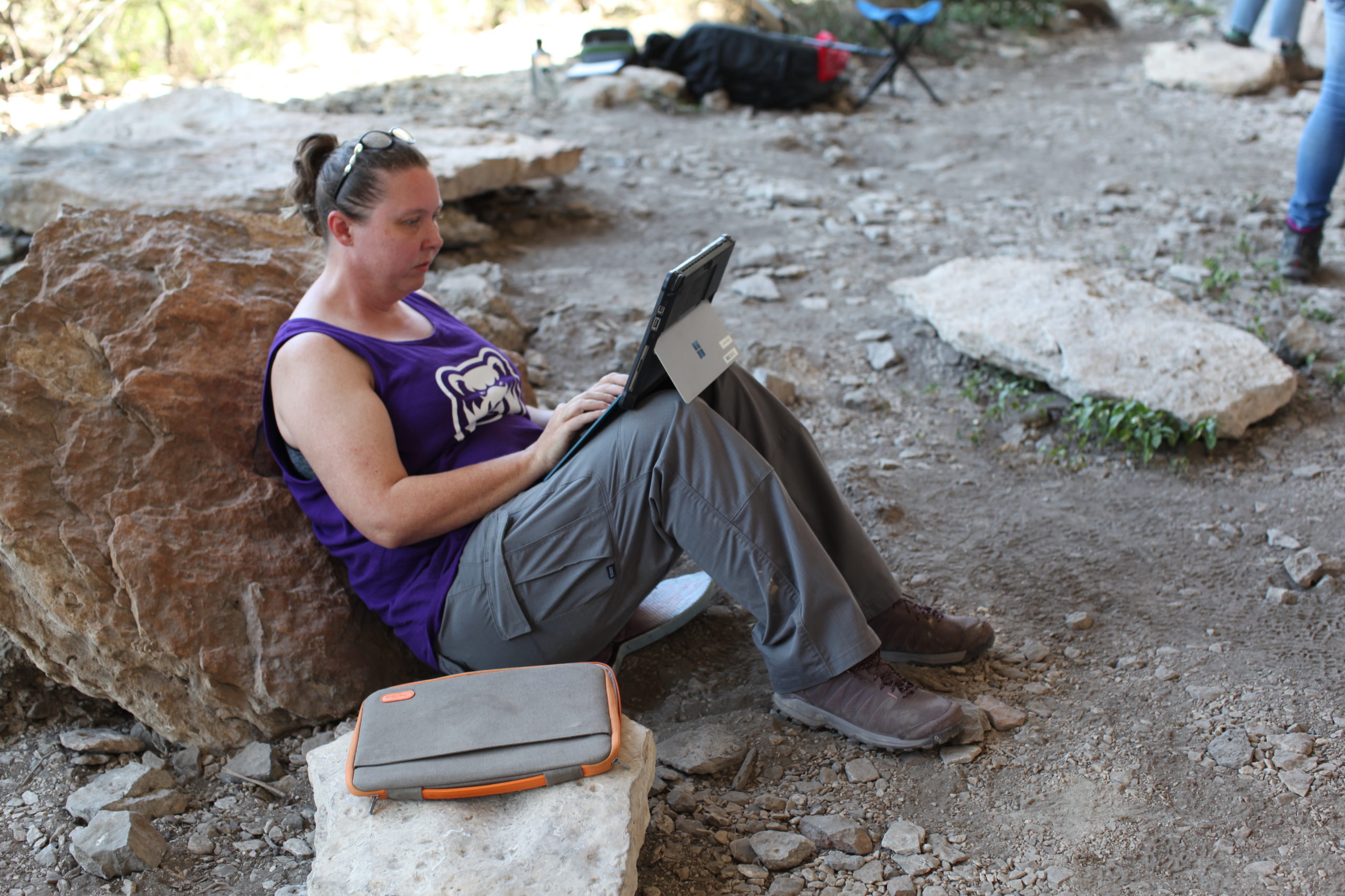
Karen is typing official daily notes. Each day someone records general field notes. These are general comments about the weather conditions, job assignments, details of progress, visitors, and anything else that comes to mind. We had very few visitors to this site.
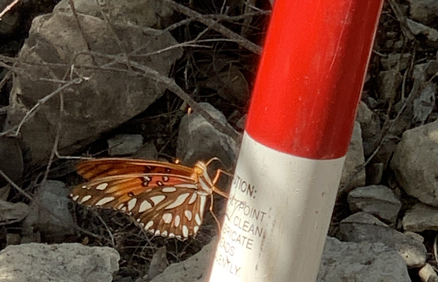
One of our most important visitors stayed in the shelter for quite a while. We took this visit to be a good omen.
Tim, the ice (chest) man
In the lab, we download data and figures, scan photologs and TDS logs, and then sit down with Carolyn to check the quality of figure photos. We eat around 7:30 PM and return to the lab and plan for the next day. We usually knock off around 8:30PM.
Final Thoughts—Random Shots
The daily work cycle continued for 2 weeks. Here is a summary of work we completed.
During the 14-day field project:
- Team members recorded 3-dimensional location data using a surveying instrument called a total data station (TDS) for 212 figures. The instrument is tied to a permanent datum that is tied to a geographic coordinate system so that we know its location not just in the shelter but on the landscape. This will be useful for studying the regional distribution of specific styles and motifs.
- They took 13,611 figure photos of six types, overall context with and without scale, mid-range context with and without scale, and closeup with and without scale.
- At 170 pre-selected sites on the mural the team recorded macrophotographs and photomicrographs of paint layers to determine the paint stratigraphy, the 3-D position of each photomicrograph was recorded using a TDS.
- The fine arts team member conducted a formal analysis of the Halo Shelter panel using elements of design to examine the compositional arrangement of figures, rhythm, balance, and color harmony. She can infer authorship of some figures by examining paint application methods such as brush strokes unique to a specific artist.
If you are not a contortionist, do not apply for a job in archaeology.
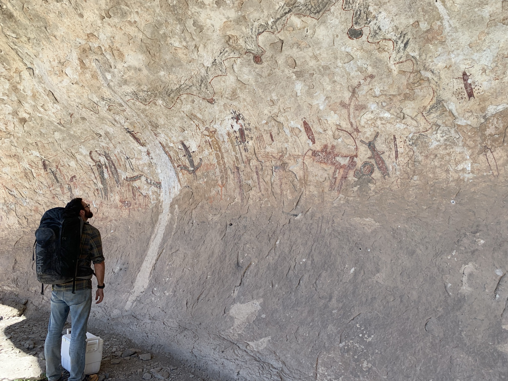
On the last day, we packed our equipment and paid our final respects to the figures. Here Tim pauses for a moment of silence and a final look.
- Prior to Carolyn’s review of the Alexandria Project GigaPan, no one had found white paint at Halo. Alerted by Carolyn, the team found white paint in several places, including two white anthropomorphs.
- In almost all places a color application rule was obeyed, black first, then red, then yellow, then in a few significant places black was painted over red.
- One repetitive shape, emphasized at Halo, is the zigzag line – many of these lines are spread or spaced across the panel.
- The artist(s) used geometric shapes, both zigzag and curvilinear shapes spinning away from lines to convey themes of motion, movement, and energy.
- Two long and wavy lines, parts of which are decorated, surround the main portion of the panel, framing what is obviously a composition.
- On the viewer-left side of the panel, figures are laid out precisely, separated by repeated and precise spaces, according to the compositional analysis. Stay tuned for more data!
